Log in
All resources
Create a design
221 Free Images of Pacific Coast
latin-language maps
considérations géographiques et physiques sur les nouvelles découvertes au nord de la grande mer
bibliothèque nationale de france
british library asia, pacific and africa collections
british library
philippe buache
18th-century double hemisphere world maps
island of california on world maps
geocentric model
heliocentric model
eight most splendid views of india, sketched by an officer in the indian army
british library asia, pacific and africa collections
1760s maps of the americas
jean janvier
considérations géographiques et physiques sur les nouvelles découvertes au nord de la grande mer
old maps of the yellow sea
considérations géographiques et physiques sur les nouvelles découvertes au nord de la grande mer
eso island
considérations géographiques et physiques sur les nouvelles découvertes au nord de la grande mer
eso island
considérations géographiques et physiques sur les nouvelles découvertes au nord de la grande mer
isla de los estados
british library asia, pacific and africa collections
oriental scenery (part 2)
1750s maps of california
philippe buache
eight most splendid views of india, sketched by an officer in the indian army
british library asia, pacific and africa collections
british columbia in the 1860s
saturna island
1740s maps of the world
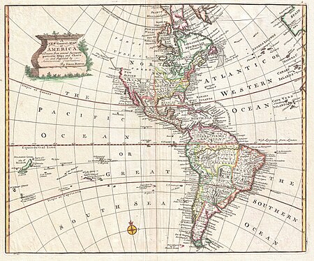
maps by emanuel bowen
1740s maps of the americas
1747 maps of north america
oil paintings of the royal museums greenwich
portrait paintings by stephen pearce
1770s maps of alaska
robert de vaugondy
maps by joachim bormeester
1680s maps of the world
maps by joachim bormeester
1685 maps
british library asia, pacific and africa collections
twenty-four views by henry salt (1809)
1650s maps of the americas
1658 maps
18th-century double hemisphere world maps
1730s maps of the world
18th-century double hemisphere world maps
1730s maps of the world
geocentric model
1730 maps
201 - 221 of 221
/ 3